Page 469 - 360.revista de Alta Velocidad - Nº 6
P. 469
Atlas-rail: geo-referenced database on high-speed


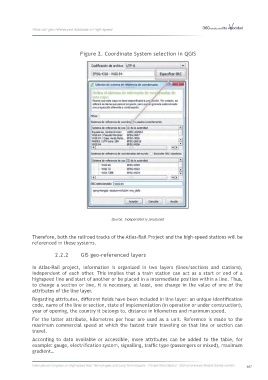
                                         Figure 2. Coordinate System selection in QGIS


                                                      Source: Independently produced


                   Therefore, both the railroad tracks of the Atlas-Rail Project and the high-speed stations will be
                   referenced in these systems.

                              2.2.2      GIS geo-referenced layers


                   In  Atlas-Rail  project,  information  is  organized  in  two  layers  (lines/sections  and  stations),
                   independent of each other. This implies that a train station can act as a start or end of a
                   highspeed line and start of another or be placed in a intermediate position within a line. Thus,
                   to change a section or line, it is necessary, at least, one change in the value of one of the
                   attributes of the line layer.
                   Regarding attributes, different fields have been included in line layer: an unique identification
                   code, name of the line or section, state of implementation (in operation or under construction),
                   year of opening, the country it belongs to, distance in kilometres and maximum speed.
                   For the latter attribute,  kilometres per hour are used as a unit. Reference is made to the
                   maximum commercial speed at which the fastest train traveling on that line or section can
                   travel.
                   According to data  available  or accessible,  more attributes  can  be  added  to the  table,  for
                   example: gauge, electrification system, signalling, traffic type (passengers or mixed), maximum
                   gradient…


                   International Congress on High-speed Rail: Technologies and Long Term Impacts - Ciudad Real (Spain) - 25th anniversary Madrid-Sevilla corridor  467

